
Ma Pi Leng Pass: The Best Road in Vietnam
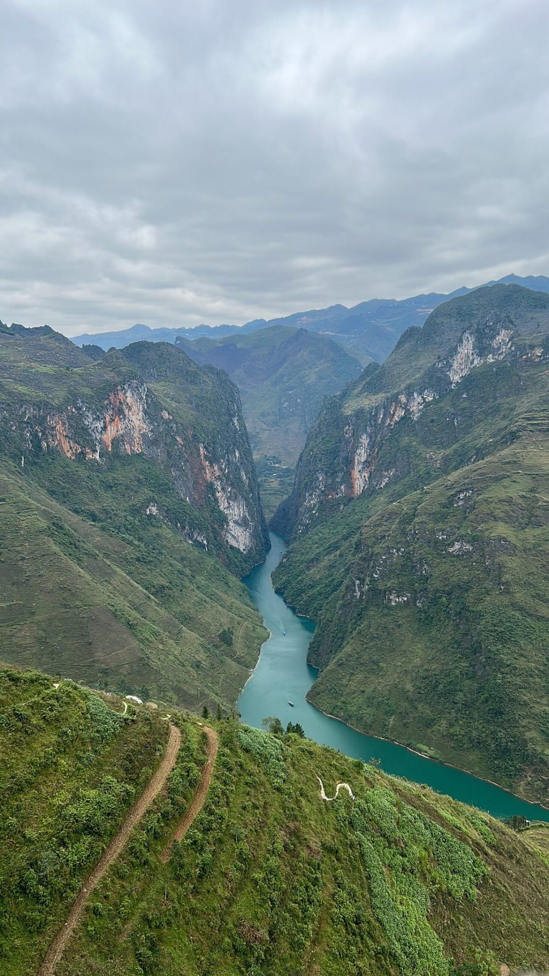
Ma Pi Leng is a mountain pass in the far north, between Dong Van and Meo Vac. The road was cut into the cliff by hand in the 1960s. Below you, the Nho Que river runs bright green through a deep canyon. It is the high point of the Ha Giang loop.
What you can do
- Stop at the viewpoints There are several places to park along the pass. Take your time.
- Take a boat on the Nho Que From the bottom of the canyon, small boats go into the gorge. About one hour.
- Walk the Sky Path A narrow footpath along the cliff, for people who are not afraid of heights.
Good to know
- The road is safe but narrow. If you are not an experienced rider, take a driver.
- Weather changes fast. Fog can hide the view completely.
- Best months are September to November, and March to May.
Where it is
- Region: Ha Giang (Tuyen Quang province)
- From Ha Giang city: about 4 hours
- From Hanoi: about 8 to 10 hours
- From Dong Van: about 45 minutes
- Coordinates: 23.24196, 105.39792
- Map: Open in Google Maps
How to fit it into your trip
Ma Pi Leng is part of the Ha Giang loop, a three or four day trip. It is too far for a day trip. Most people ride it by motorbike or go with a car and driver.
Travelling around North Vietnam is easiest with your own driver. We arrange cars and drivers for trips like this.
Getting there: see Hanoi to Ha Giang, or let us plan your whole trip, airport to airport.
Photo: MapStaringEnthusiast, CC BY-SA 4.0, via Wikimedia Commons.
 English
 Dutch
Dutch French
 German
 Korean
 Spanish
 Italian